The Yealm Mapper software has recently gone "live" as part of the Plymouth University Data Accessibility for River Catchment Environmental Engagement (DARCEE) project with YEM.
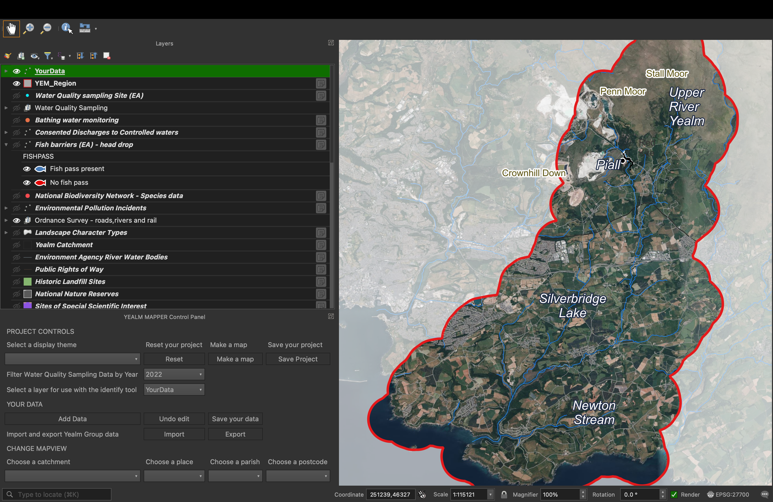
Yealm Mapper image courtesy of Olivia Wilson, Plymouth University.
The DARCEE project is a University of Plymouth research project together with YEM. The aim is to enable local residents of the Yealm to learn about the River Yealm catchment by exploring environmental data using a simplified Geographical Information System (GIS) mapping package. The mapping package is called Yealm
Mapper and is specific to the river catchment and estuary. It is hoped that the Yealm Mapper can be used to inform community-led environmental projects and to display new data collected by community projects. The project team have worked closely with the Yealm Estuary to Moor group and with local residents to identify which data is of interest and how best to display it in map form. Instructions on how to download the software and data are available here, together with training videos about how to use the Yealm Mapper.